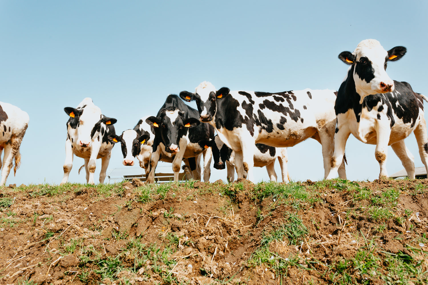
Enhancing Animal Activity Monitoring
CERES TAG introduces a wildlife activity monitoring technology in its CERES WILD tag, designed to improve wildlife management. CERES WILD offers a direct to satellite connection, sending 12 data packets per day with animal location, movement and behaviour data.
The solution offers automated, global and infrastructure-free tracking of wildlife, facilitating in-depth study and protection of animal populations and pest animal control.
Activity Monitoring with CERES WILD
CERES WILD activity monitoring is an algorithm that has been developed by sampling the pattern of behaviour of cattle, this is then expressed on a scale of 0–63 with 0 being the lowest and 63 the highest.
With each data point you receive you will receive a value of 0–63 which represents the activity of that animal over the previous hour. This versatile metric will allow consistent measurement of activity across species, with fast, active animals having results on the higher end of the scale while slower, less active animals will sit on the lower end.
-
Globally Available
CERES TAG devices offer direct to satellite communications enabled by a global network of Low-Earth Orbit (LEO) satellites, providing long-term data collection regardless of animal location.
-
Continuous Location Tracking
Continuous monitoring of animal movements across diverse habitats via 12 satellite data packets sent each day.
-
Non-Invasive Monitoring
Minimal impact on animals, ensuring natural behaviour is maintained.
Benefits for Conservation
-
Enhanced Understanding of Wildlife
Monitor patterns and behaviours to inform conservation strategies.
-
Improved Habitat Management
Data-driven insights help in the preservation and management of natural habitats.
-
Support for Endangered Species
Data supports efforts to protect and increase populations of at-risk species.
-
Global Impact
Facilitates international collaboration on wildlife conservation projects.
Implementation and Impact
Adopting CERES TAG's wildlife activity monitoring technology is a stride towards improved wildlife management:
- Seamless Integration:
Easily deployable across various species and habitats. - Accessible Data:
Real-time data accessible through a network of Software Partners, enabling timely decision-making. - Long-Term Conservation Efforts:
Continuous monitoring supports ongoing conservation research and initiatives.
Can I get access to the raw accelerometer data?
This is not available as CERES TAG is restricted by the amount of data it can send via satellite in one transmission. The aggregated data sent via CERES WILD has been designed to conserve the battery and fully utilise the on-device machine learning while sending 12 data packets per day. Some software options will allow you to export your data packets to csv.
CERES TAG is continually striving to innovate and improve our products. Feel free to contact us to share your ideas/thoughts/needs on data requirements.

A New Lens.
CERES TAG's wildlife activity monitoring technology offers a new lens through which to view and protect our planet's precious wildlife and manage invasive animal populations. By harnessing the power of location data and behaviour analysis, conservationists can make informed decisions to safeguard natural ecosystems for future generations.